Mapping the Redstone
Introduction
The idea of place is mostly missing in European tradition.
This is a culture wrapped up in individuality to the
point that it is in danger of losing its past. Very
Americans today see history in the context of how traditional
peoples before us did. Yes, we celebrate great buildings,
wars or where we were born. Yet this pales in comparison
to socalled prehistoric people. This project has just
begun with the goal of recreating the past of this sacred
place known as the Redstone Building today.
Within a very specialized segment of the Bay Area's
environmental community, there is a movement to rebuild
Ohlone communities and their world. For the Redstone
building, the first small steps of recreating its past
came in 1997 when the Clarion Alley Mural Project won
a grant to create murals in the lobby and first floor
of the Redstone Building.
During the several months of research, the muralists
discovered that an Ohlone whalebone shard was found
during construction of the building during excavation
that took place in 1913-4. During the summer of 2009,
as part of the annual LaborFest month, a new project
was started to dig up the building's past. Part of that
project is this initial website and the online images
and resources.
The following thumbnail images can be clicked on for
a closer look.
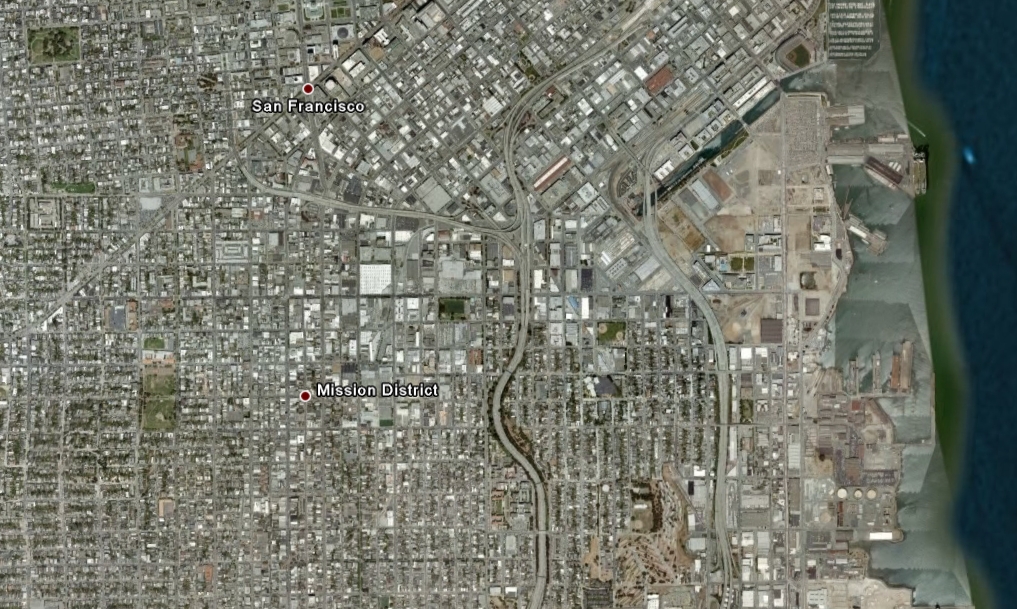
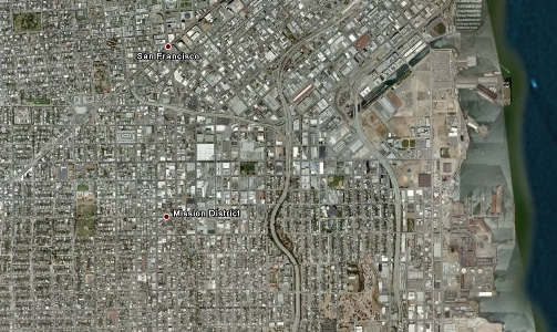
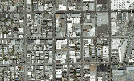
Here's a nice Google Earth image of the Western half
of the city as it looks today:
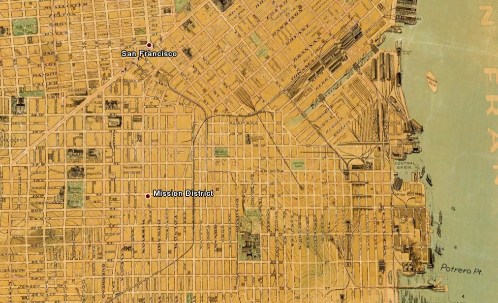
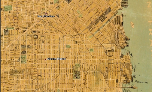
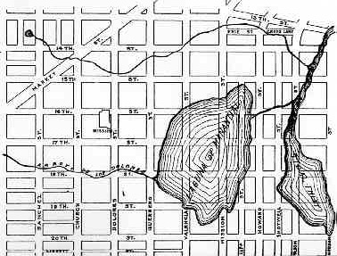
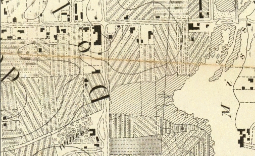
Here's a city map from 1915 of the exact same area:
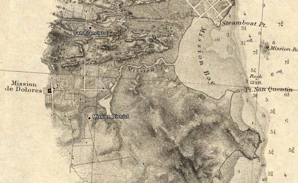
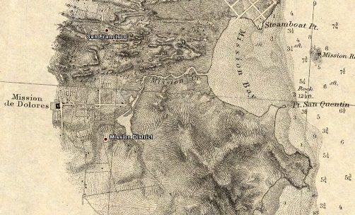
And here's the exact same location for how the area
looked in 1859:
Let's zoom in and take a closer look: Yes. You are
looking at the corner of 16th and Mission from 1859.
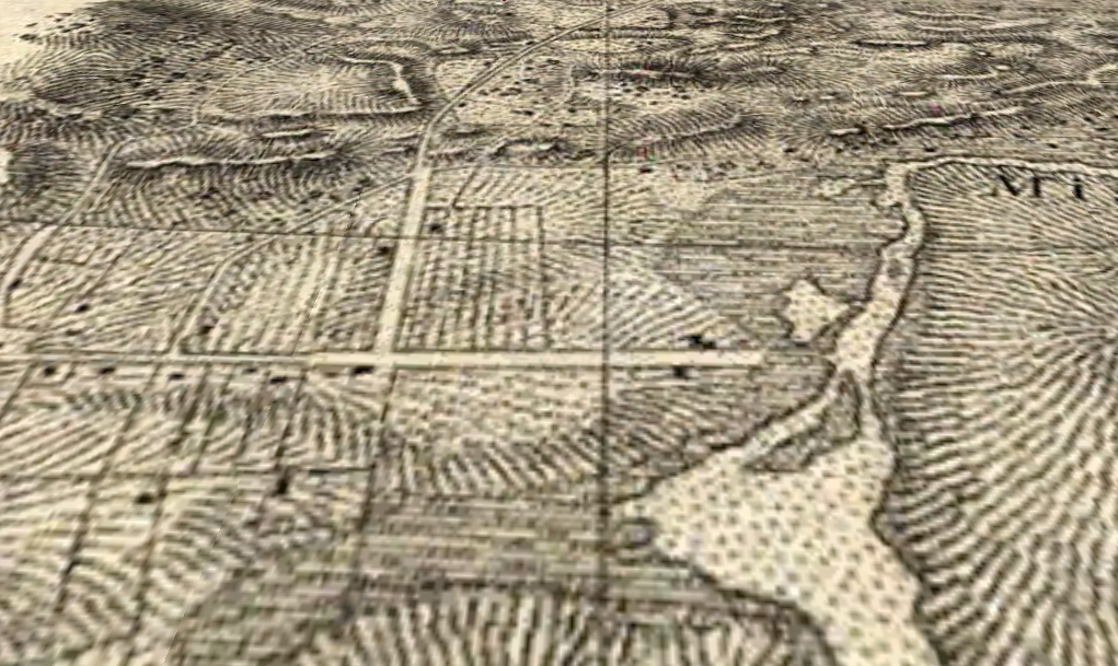
And then Here's the same view from 1853:
And finally, Let's put the Redstone Building back on
the map...

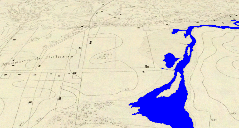
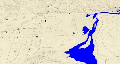
But wait! There's controversy to be had! Where's the
famous Dolores Lagoon? In the above map its not covering
the vacinity as claimed by some historians.
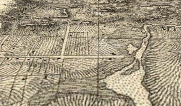
Here's the map that is causing all the controversy.
According to this map and the
discussion here, the Redstone building would be
completely under water. Or... What we (the building,
\/ ) look like now...
Would look kind of like this (excuse the bad art)...

The above location of Dolores Lagoon doesn't look anything
like the 1859 overlay below, that includes topographical
terrain levels...
If you look at the larger version of the 1853 Map,
the topographical contours show gradients moving away
from Mission Creek on the right of up to 40 feet. in
the area that may or may not have been the location
of the Lagoon. According to the above discussion that
includes a number of historic discussions about the
Lagoon, lets assume that there was one.
If so, then that suggests that an immense amount of
landfill has come down to fill nearly 8 square blocks
with a vast amount of new material. Is it possible that
the Ohlone were used to fill in such a huge amount of
land to make the area usable, or did the Lagoon dry
up due to many years of draught or agricultural usage
by the Mission, due to its rather shallow nature?
It sure would be nice to get a bead on the map that
showed the original. There is clearly water directly
below the Redstone building today. It requires around
the clock pumping to keep the basement free of water.
Watermarks during construction implied that the basement
could literally fill up to at least 7 feet above the
current basement floor if pumping isn't constant. The
above map shows gradients of just 10 feet above sealevel
on the north side of the building. And of course, if
you look at where the worst damages took place in the
1989 Earthquake, they were over on Shotwell and 18th
and down in front of Rainbow Grocery on 14-15th and
Folsom, which lines up perfectly with the Mission Creek.
There's the chance that somebody placed the rather
two small lagoons just off Mission Creek where the Creek
takes a sharp turn to the south (Folsom and Division),
blowing them way up out of proportion. Or there was
a substantially larger Dolores Lagoon as suggested.
At present, however, those gradient lines in the 1853
map don't come close to matching the historic claims
of the older Lagoon, and this is especially the case
if there was a whole lot of water that dissappeared
over a 60 year period of time.
There is no doubt that the entire area has a lot of
water right below the surface. Its clear there needs
to be a bit more discussion about this as those 1853/9
maps aren't wrong.
Hopefully this will be a first in a series to look
more closely at our neighborhood and the place we call
the Redstone Building.
References
Google Earth was used to overlay and align maps from
the Durnsey
online Map collections.
If you have Google Earth software click
here and then pick any one of the maps that can
be overlaid on top of the satellite image for the city.
Here's
Burrito Justice's investigation of the above water bodies,
including maps.
 And
the story about Dolores Lagoon. And
the story about Dolores Lagoon.
And just a parting bit of food for thought. The modern
city of San Francisco, once known as Yerbe Buena prior
to 1846, was named after St. Francis of Asisis. But
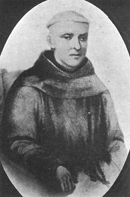
it also is of interest that the the Padre who first
came here as well as founded Mission Dolores was Francisco
Palau. Was our town really named after St. Francis,
or the guy that opened up shop?
|